As an Amazon Associate, we earn from qualifying purchases. Some links on this site are affiliate links at no extra cost to you. Our recommendations are based on thorough research and editorial judgment.

Aerial Photography for Environmental Conservation Projects
Aerial photography is essential for environmental conservation projects, as it enables us to capture high-resolution images that help monitor ecosystems and evaluate habitat health. By using drones, we can efficiently identify species at risk and pinpoint areas needing conservation. Some benefits include reduced travel costs for teams, real-time data collection, and continuous environmental monitoring. This technology not only assists in creating detailed 3D models but also fosters innovative conservation strategies. There’s so much more to explore about aerial photography‘s impact!
Key Takeaways
- Aerial photography using drones provides high-resolution images that help monitor wildlife and habitat changes effectively over time.
- Advanced technology enables the identification of at-risk species and prioritization of habitats needing conservation efforts.
- Continuous environmental monitoring through aerial imagery allows for real-time data collection and trend detection related to climate change.
- Software like PIX4Dmapper creates detailed maps and 3D models, enhancing visualization of ecosystems and aiding in conservation strategies.
- Collaborations among organizations utilize aerial imaging to track biodiversity, develop conservation plans, and address environmental challenges efficiently.
The Role of Aerial Photography in Conservation Efforts

Hey there! Have you ever thought about how aerial photography is changing the way we tackle environmental conservation? It’s pretty fascinating! With the help of drones, we can snap high-resolution images that really make a difference in understanding our planet. For instance, organizations like Mossy Earth leverage these images to keep tabs on wildlife and see how habitats are shifting over time.
Using aerial maps, we can pinpoint areas where species are at risk and figure out which habitats need special attention. This is so important when we’re working on projects like reforestation or bringing back wild areas, as it gives us up-to-date insights into how these ecosystems are coping, especially with all the changes from climate change. Plus, one of the great perks of using drones is that it cuts down on travel costs for teams, which also helps reduce our impact on the environment.
This approach is not just smart; it’s also efficient. Many of the top drones used in conservation efforts come with advanced stabilization technology to ensure smooth, professional footage, even in challenging outdoor conditions. Next time you see a stunning aerial shot, think about how much it contributes to preserving our planet! It’s definitely a tool that many conservationists are eager to explore further.
How Aerial Photos Help Us Understand Ecosystems

Hey there! Have you ever wondered how aerial photos can help us understand ecosystems better? Well, they’re pretty amazing! High-resolution aerial images give us a clear look at the environment, showing us things like how healthy the ecosystem is and where different types of plants are growing. For instance, when drones fly over a forest, they can capture thousands of pictures that we then stitch together into detailed 3D models. These models help us visualize the terrain and the various habitats within it.
Another cool thing about aerial imagery is that we can use color filters to identify specific plant species and assess their health. This is super important for keeping biodiversity intact! Imagine being able to spot dwindling populations of a rare flower or tracking how a specific tree species is thriving—or not—over time. Plus, with this technology, we can monitor changes in the environment continuously, which helps us pick up on trends due to climate change or habitat loss. By having real-time data on protected species and their habitats, we can craft better conservation strategies. Using advanced drones equipped with carbon fiber propellers enhances flight stability and longevity, enabling longer and more efficient aerial data collection.
Success Stories: Aerial Imaging in Action

Have you ever thought about how amazing aerial imagery can be for conservation efforts? It’s really changing the game all over the world! Take Portugal, for example. Aerial images are helping conservationists keep tabs on seacliff plants, letting them monitor their health more closely than ever before. It’s incredible how a simple photo can make such a difference!
Then there’s Benin, where teams used aerial photography to spot termite mounds. By understanding the landscape better, they can tackle the issue of desertification more effectively. Plus, did you know the National Geodetic Survey has archived over 500,000 high-resolution aerial images? These are crucial for tracking coastal changes, allowing us to conserve our precious ecosystems.
Aerial imaging even helped researchers rediscover endangered snails in Madeira! This kind of resource allows scientists to fine-tune their search areas, making their conservation efforts even more targeted. And organizations like Mossy Earth are continuously using this data to keep an eye on biodiversity and climate changes. It’s a pretty exciting time for conservation work, isn’t it? There’s so much more happening in this field!
Thermal imaging drones with advanced high-resolution thermal cameras are increasingly being utilized in environmental monitoring due to their ability to detect heat signatures for detailed ecosystem assessments.
Key Technologies Driving Aerial Photography in Conservation
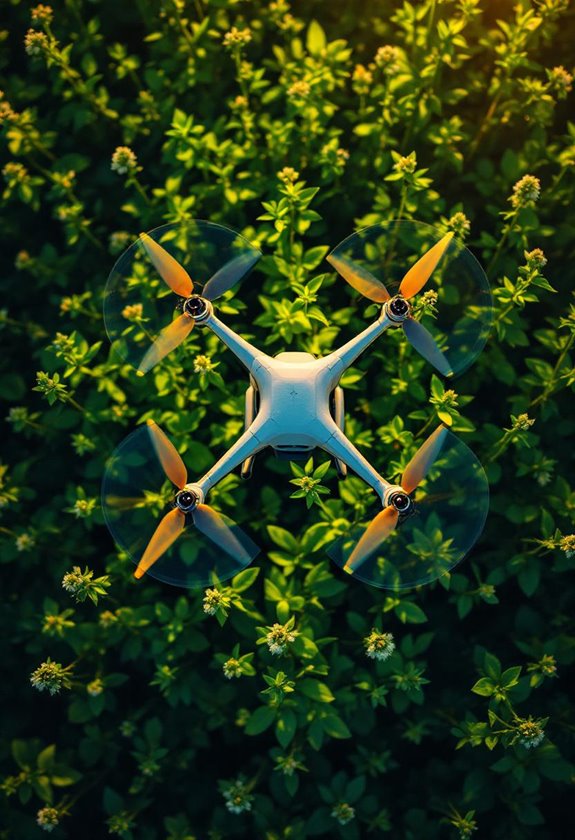
Hey! Have you ever thought about how aerial photography is making a real difference in conservation? It’s pretty amazing what some of these new technologies can do. Take drones, for example, like the DJI Phantom 4 Pro V2. They can snap incredible aerial photos, which really helps us keep an eye on our environment. Imagine flying over a forest and spotting areas that need attention without even stepping on the ground!
Then we jump into some cool software like PIX4Dmapper. It helps us turn those pictures into detailed maps and gives us a clear picture of how healthy the vegetation is. Using remote sensing techniques, we can even create 3D models of the land—think of it as getting a bird’s-eye view of the terrain and understanding where plants grow thick and where they might be struggling. This information is essential for managing ecosystems and monitoring biodiversity.
Plus, regular data collection lets us see how our environment is changing over time. For instance, we can monitor an area for signs of climate change or assess how well certain conservation strategies are working. On top of that, using color-filtered images helps pinpoint specific plant species that are crucial for conservation efforts, especially in rewilding projects. It’s like having a magnifying glass on nature’s most important elements!
This blend of technology with conservation provides invaluable insights, and it sets the stage for what’s next: further innovations that could enhance our understanding and protection of the natural world. Additionally, the use of modular camera drones with extended flight times and high-quality cameras greatly improves the efficiency and range of aerial data collection.
Future Trends in Aerial Photography for Conservation
Have you heard about the exciting new trends in aerial photography for conservation? It’s really fascinating how tools like the DJI Phantom 4 Pro V2 are changing the game. With its high-resolution images, we can now capture stunning details of biodiversity, making it much easier to monitor the health of different ecosystems.
Let me break it down for you. Think of software like PIX4Dmapper as a high-tech assistant that helps scientists build 3D models of the terrain. By analyzing these models, we can see how landscapes are changing due to climate conditions or human activity. For instance, researchers can track changes in wetlands to assess how they’re responding to rising sea levels. This kind of detailed information helps in creating effective strategies for conservation.
Moreover, as more universities and organizations team up on projects, they’re focusing on the unique needs of specific species. It’s an exciting time because all this technology is improving our ability to protect the planet’s precious resources. As we embrace these innovative tools and collaborations, we’re not only gaining insights but also paving the way for more effective conservation efforts in the future. Using drones equipped with 3-axis gimbal stabilization allows conservationists to capture smooth, high-quality footage even in challenging environments.
Frequently Asked Questions
What Types of Drones Are Used for Aerial Photography in Conservation?
We often use quadcopters and fixed-wing drones for conservation photography. Their drone capabilities allow high image resolution, essential for detailed studies, while adhering to flight regulations guarantees we maintain safety and legality during our projects.
How Often Should Aerial Imagery Be Captured for Effective Monitoring?
We’ve found that capturing aerial imagery every 3-6 months is ideal for effective monitoring. Following frequency guidelines and considering seasonal variations helps us establish accurate monitoring intervals, ensuring we keep a close watch on environmental changes.
Are There Privacy Concerns Surrounding Aerial Photography in Conservation Projects?
Yes, there’re privacy concerns. We must consider public perception, adhere to legal regulations, and address ethical considerations. Balancing conservation efforts with respect for individuals’ privacy is essential in maintaining trust and ensuring project success.
What Training Is Required to Operate Aerial Photography Equipment?
What’s the best way to master aerial photography equipment? We’ll need to focus on equipment handling techniques, meet certification requirements, and develop technical skillsets to release our creativity while ensuring safe, effective aerial operations.
Can Aerial Photography Be Used in Urban Conservation Efforts as Well?
Yes, we can definitely use aerial photography in urban conservation efforts! It helps us assess urban biodiversity, identify green spaces, and engage the community in protecting these essential areas for a healthier, more sustainable environment.