Understanding Image Overlap in Aerial Mapping Projects
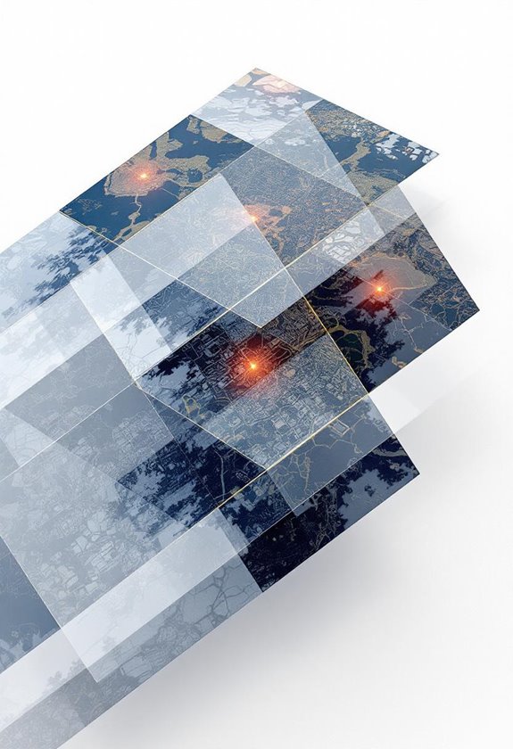
Understanding image overlap in aerial mapping ensures accurate results. Learn how to optimize your settings for the best data collection—let’s dive in!
Understanding image overlap in aerial mapping ensures accurate results. Learn how to optimize your settings for the best data collection—let’s dive in!

Discover how waypoint navigation in automated flights enhances drone operations with precise paths and improved safety. Learn how to optimize your flying!

Ground Control Points (GCPs) are essential for precise drone mapping, enhancing accuracy significantly. Let’s dive into setup tips for amazing results!

Master essential flight controls for drones to fly safely and capture stunning aerial shots. Practice these skills and elevate your flying today!

Navigating airspace restrictions and no-fly zones keeps your flights safe and legal. Learn how to avoid fines and fly confidently—let's get started!

Before flying our camera drone, let’s ensure a safe operation by following a pre-flight checklist. Ready for takeoff? Let's go!

Discover how Return-to-Home features in drones ensure safe flights by guiding them back automatically. Enhance your flying experience today!

Learn about drone weight classes to ensure safe and compliant flying. Understand the rules and stay informed to fly with confidence—let's explore together!

Crafting effective flight plans for large area coverage ensures safe operations and optimal routes. Dive in to discover handy tools and tips for smoother missions!

Discover how terrain following mode in advanced drones helps navigate tricky landscapes effortlessly! Keep your flights smooth and accurate—learn more today!