Using Aerial Imaging for Agriculture and Crop Monitoring
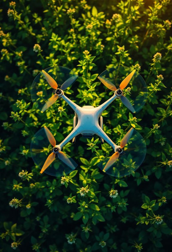
Discover how aerial imaging in agriculture helps monitor crop health efficiently. Get insights on trends and sustainable practices—let's dive in!
Discover how aerial imaging in agriculture helps monitor crop health efficiently. Get insights on trends and sustainable practices—let's dive in!

Drone photogrammetry transforms archaeology by uncovering hidden sites and preserving cultural heritage. Dive into this exciting field and discover its potential!

Aerial photography is a game-changer for environmental conservation! It helps monitor ecosystems and develop smart strategies. Discover its impact today!

Discover how aerial photography can transform tourism and destination marketing by showcasing breathtaking views that inspire adventure. Dive in for ideas!

Discover how drone technology captures coastal erosion and geological changes, offering real-time insights for effective conservation. Explore the possibilities today!

Discover how photogrammetry with drones creates stunning 3D models and maps effortlessly. Dive into the future of mapping today!

Drones transform construction site documentation by speeding up processes and boosting accuracy. Discover how this technology can enhance your project management!

Drones are revolutionizing real estate photography with stunning aerial images that help properties sell faster. Discover how they can elevate your listings today!
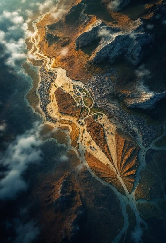
Discover aerial photography's stunning views from above, offering unique perspectives on landscapes. Ready to see the world differently? Dive in!

Discover how thermal imaging applications with camera drones are transforming industries like agriculture and utility inspections. Dive in to learn more!