As an Amazon Associate, we earn from qualifying purchases. Some links on this site are affiliate links at no extra cost to you. Our recommendations are based on thorough research and editorial judgment.

How Drones Are Transforming Real Estate Photography
Drones are changing real estate photography by offering breathtaking aerial images and immersive virtual tours. This innovation improves buyer engagement, with listings featuring drone visuals selling 68% faster. Unique perspectives capture features like pools and gardens, making properties more appealing. Significantly, drone photography also allows potential buyers from distant locations to explore homes easily. Plus, virtual tours enhance storytelling about neighborhoods. If you’re curious about how drones can further impact real estate marketing, we’ve got more insights to share.
Key Takeaways
- Drone photography enhances listings by capturing unique aerial views, leading to increased buyer engagement and a 68% faster sales rate.
- Aerial shots showcase landscaping and exclusive property features, allowing buyers to appreciate overall appeal from fresh perspectives.
- Immersive drone tours provide 360-degree views, resulting in an 87% increase in buyer inquiries and a compelling property narrative.
- Drones improve market accessibility by offering views of hard-to-reach locations, making property previews available to distant buyers.
- Future advancements in drone technology, like 3D mapping, will enhance real estate marketing strategies and keep agents competitive.
The Evolution of Drone Photography in Real Estate
Hey! Have you noticed how drone photography in real estate has really taken off? It’s amazing how this technology has changed the way we promote properties. Just think about it—those stunning aerial shots let buyers see homes and their surroundings in a whole new light. In fact, listings that feature drone photography can sell a whopping 68% faster than those without it. That’s a big deal in the real estate world!
With advancements like 4K video quality and smart obstacle avoidance, drones give us the tools to create vibrant, eye-catching content that really draws in potential buyers. For example, imagine strolling through a virtual tour of a property, taking in the yard and nearby amenities—all while sitting on your couch! This kind of experience is especially beneficial for remote buyers who can’t visit in person. Many drones feature auto-return GPS systems, which enhance safety during flights over properties, making the technology more reliable for real estate professionals.
Unique Perspectives Drones Bring to Property Showcasing
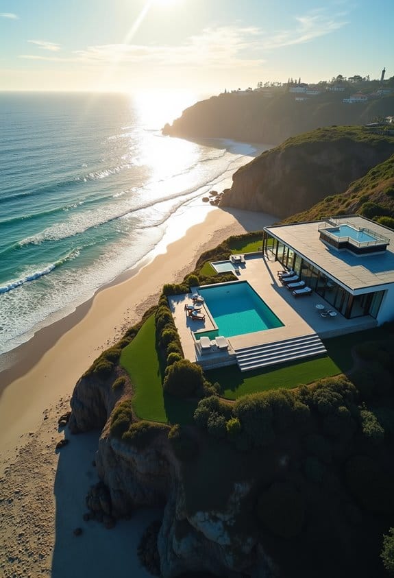
You know, drones really change the way we see properties! With drone photography, you get views that just aren’t possible from the ground. For instance, imagine capturing a sprawling estate from above; you can fully appreciate the gorgeous landscaping and layout, which is so important for potential buyers to visualize.
Take, for example, a home with a stunning pool or a well-designed garden—drone shots can flaunt these features beautifully, showing off how they fit into the overall property. It’s like giving buyers a bird’s-eye view, helping them grasp the scale and unique architectural details that might be missed in regular photos.
These unique perspectives really boost a property’s appeal, providing a fresh glimpse that conveys so much more. It makes you wonder how many places are out there just waiting to be seen from a new angle. And speaking of angles, let’s explore how these aerial views can also assist in better marketing strategies. Advanced drones often include Electronic Image Stabilization to ensure smooth, high-quality footage that captivates potential buyers.
Enhancing Buyer Engagement With Drone Imagery
Hey there! You know how tough the real estate market can be these days? Well, one thing that really grabs potential buyers’ attention is amazing visuals, and drone imagery is totally changing the game in real estate photography. Instead of just showing a flat view of a property, aerial shots give a whole new perspective, helping buyers see not just the house itself but also its beautiful surroundings—imagine that stunning backyard or the proximity to local parks!
It’s pretty wild, but listings with drone visuals actually sell 68% faster than those without. Plus, they get 94% more views! Just think about how powerful that is. If you’re trying to sell, incorporating drone imagery can even boost the chances of getting people to come and see the property in person by 65%. And here’s a fun fact: properties using drone photos can get up to 40 times more shares on social media, making them stand out even more.
Using drones with features like GPS Return to Home ensures safe and reliable flights during real estate shoots, reducing risk and improving ease of use.
How Drones Revolutionize Virtual Property Tours?
You know how real estate is always changing, right? Well, using drones for virtual property tours is really shaking things up! These drones can capture stunning, high-quality footage, giving buyers an immersive look at properties right from their living rooms. It’s pretty cool because people can explore homes with 360-degree views without even stepping outside. For instance, imagine you’re interested in a house two states away—you can take a detailed virtual tour to see if it feels like the right fit.
What’s interesting is that properties featured in these drone tours get a huge boost in interest; in fact, listings see an 87% rise in buyer inquiries. Plus, real estate agents can use drone footage to tell a story about the property and its neighborhood, showcasing not just the house but what life could be like there. Homes highlighted with drone technology also sell a whopping 68% faster! This means buyers are more confident in making decisions when they can visualize a home so clearly. It really shows how much technology is reshaping our experience with real estate. The integration of 3-axis gimbal stabilization in drones ensures that the footage remains smooth and professional, greatly enhancing the quality of virtual tours.
Next, let’s explore how this technology impacts the buying process beyond just visuals—like how it’s changing the way buyers approach their home search!
How Drones Expand Market Accessibility for Real Estate
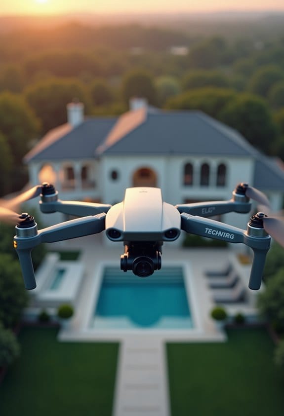
You know, it’s fascinating how technology is changing the real estate game, and one of the coolest tools in this transition is drones. They really boost market accessibility. For instance, with drone photography, we can take stunning aerial shots of properties. This is especially useful for hard-to-reach locations, making them visible to potential buyers who might be in other states or even countries. In fact, listings that include these aerial images actually sell about 68% faster. It’s like giving buyers a sneak peek without them even having to step foot on the property!
Drones are not just for pretty pictures, though. They also create immersive virtual tours, which can be a huge hit with families relocating long distances. Imagine parents checking out a neighborhood and the house from their living room couch! Plus, when it comes to inspecting large commercial properties, drones make the process much more efficient and safe by covering a lot of ground in a short time. Utilizing drones with long battery life allows real estate professionals to capture extended aerial footage without frequent interruptions.
The Future of Real Estate Marketing With Drone Innovation
You know, the future of real estate marketing is really buzzing with drone innovation. Imagine being able to showcase properties from high above, giving potential buyers a breathtaking view they can’t get from traditional photos. Drone photography captures stunning aerial shots that truly meet what today’s buyers expect; they want visuals that pop and make a property stand out.
For instance, homes that include drone imagery can sell much faster—like 68% quicker than those without! This can be a huge advantage, especially in a competitive market. Plus, drones can help create immersive virtual tours, allowing buyers to explore homes from the comfort of their couch, no matter where they are in the world.
As the technology gets even better, we’ll start seeing features like 3D mapping and creative storytelling that really draw people in. Drones with advanced features such as obstacle avoidance ensure safer and more reliable flights, even in complex environments. For real estate agents and sellers, embracing this kind of innovation isn’t just smart; it’s necessary to stay relevant. So, if you’re thinking about buying or selling, it’s a good idea to look for professionals who are already using these tools!
Frequently Asked Questions
What Are the Legal Requirements for Using Drones in Real Estate Photography?
Have you ever considered the legal maze of drone usage? We must navigate FAA guidelines, airspace restrictions, privacy concerns, and zoning laws, all while ensuring liability insurance is in place to protect property boundaries and data.
How Much Do Drone Photography Services Typically Cost for Real Estate Listings?
Typically, drone photography services range from $150 to $500, depending on region-based rates and service package comparisons. We can explore budget-friendly options, DIY photography, and client testimonials to maximize value in a competitive market.
Do I Need a Specific Drone License to Operate Commercially?
Yes, we need to follow drone licensing requirements, which include FAA certification, pilot training programs, and commercial drone regulations. Also, we must guarantee insurance for drone operators and adhere to drone safety guidelines and usage compliance.
Can Drone Footage Be Edited for Better Marketing Impact?
Absolutely, we can enhance drone footage using editing software! By applying post production techniques, we strengthen visual storytelling, refine video quality, and boost marketing strategies, ensuring branding consistency and maximizing customer engagement across social media platforms.
How Do Weather Conditions Affect Drone Photography Quality?
Weather conditions greatly affect drone photography quality. Lighting conditions, cloud cover, and time of day influence visuals, while wind impact and humidity levels can hinder stability. Rain effects, snow conditions, and fog presence add further challenges.