As an Amazon Associate, we earn from qualifying purchases. Some links on this site are affiliate links at no extra cost to you. Our recommendations are based on thorough research and editorial judgment.
How Drones Document Infrastructure Inspections
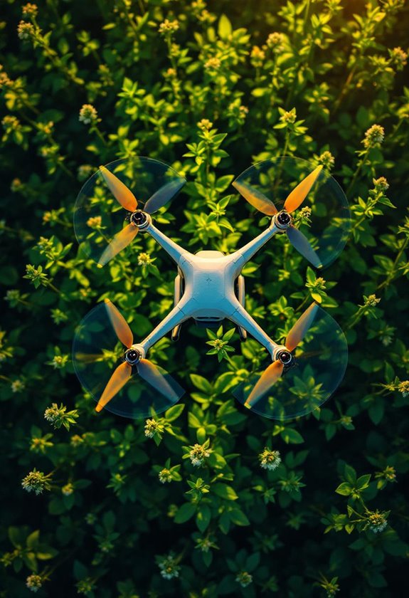
We document infrastructure inspections using drones equipped with high-resolution cameras and sensors, which capture detailed images and data effectively. These drones help us identify structural issues like cracks, monitor temperatures with thermal imaging, and create 3D models for precise analysis. By reducing inspection times and enhancing safety in hard-to-reach areas, drones greatly improve our overall efficiency. With these advancements in technology, we can make informed decisions about repairs and maintenance, leading to better infrastructure management. There’s much more to explore about how we use this technology.
Key Takeaways
- Drones capture high-resolution images and sensor data, documenting structural conditions effectively without risking human safety.
- They utilize thermal imaging to identify temperature variations and potential structural issues during inspections.
- Drones can stitch overlapping images to create accurate 3D models of infrastructure, enhancing documentation for asset management.
- GPS technology ensures precise location tracking, allowing for reliable data collection and ongoing monitoring of inspected structures.
- Automated analysis tools streamline data interpretation, improving the efficiency of documenting inspection results and conditions.
Understanding Drone Technology in Infrastructure Inspections
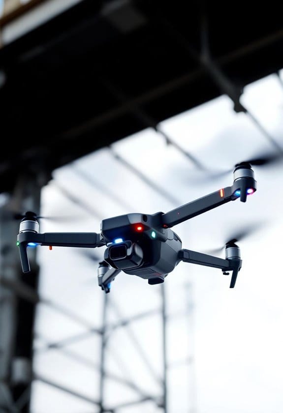
Hey there! You know how drones are becoming a big deal in infrastructure inspections? It’s pretty fascinating! These little flying machines come with high-resolution cameras and sensors that let us get some really clear pictures of things like bridges and buildings. Think about it this way: instead of sending someone up a ladder or scaffolding, we can use a drone to safely capture all the details we need without putting anyone in danger.
For example, if we’re looking at an aging bridge, a drone can easily zip around and snap photos from all sorts of angles. It can even use thermal imaging to spot temperature differences that might reveal structural issues. This data helps us figure out if the bridge is still safe or if it needs some repairs, which is a whole lot easier and safer than traditional methods. Plus, with drones, we can create digital twins of our assets, which are like 3D models that help us analyze and manage them better.
All of this not only helps us make smarter decisions but also keeps us compliant with regulations like FAA Part 107, so we can conduct our inspections safely and legally. Pretty cool, right? And this opens the door for us to explore more creative applications of drone technology in various fields! Many of the top drones also feature advanced obstacle avoidance to ensure safer flights during complex inspection tasks.
How Drones Gather Detailed Data and Images
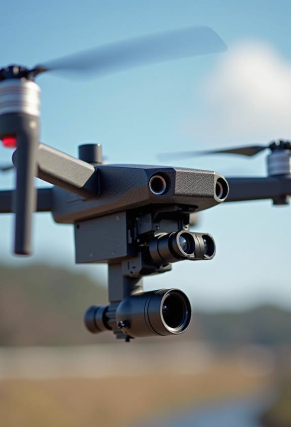
You know, drones are pretty fascinating when it comes to gathering detailed data and images. These devices come with high-resolution cameras and impressive sensors like LiDAR and thermal imaging, which are reshaping how we inspect infrastructures. For example, a drone flying over a bridge can capture images that reveal cracks or corrosion that might be hidden to the naked eye.
What’s really cool is that these drones can stitch together overlapping images to create accurate 3D models of structures. Imagine being able to see a power line from multiple angles without climbing any poles! This ability not only speeds up the data collection process but also helps engineers and inspectors identify issues more efficiently. Using quick release mounts on drones enhances the flexibility and speed of changing cameras or sensors during inspections.
Technologies That Improve Drone Inspection Precision
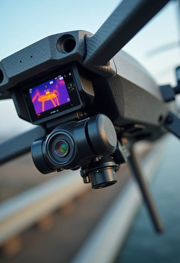
You know how drones can take amazing pictures and gather tons of data? Well, the real magic happens with the technologies that boost their inspection precision. For instance, drones with high-resolution cameras can show us super clear images of buildings and bridges, which is essential when checking for wear and tear. Combine that with sensors like LiDAR and thermal imaging, and you can spot hidden problems like cracks or unusual heat spots that might indicate trouble.
Let’s say we’re using those images and data in 3D modeling software. This allows us to create detailed digital models of structures, making it easier to plan any necessary repairs. Plus, there are automated tools that quickly analyze those images, turning raw data into something useful without wasting time. Oh, and don’t forget about GPS technology! It ensures we know exactly where everything is during the inspection, which helps us monitor changes over time and stay compliant with regulations. Additionally, features like 360° obstacle avoidance enhance flight safety during complex inspection tasks.
Advantages of Drone Inspections for Infrastructure
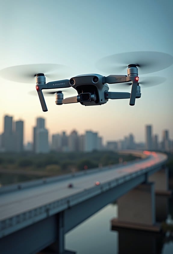
You know, drone inspections for infrastructure are really changing the game in how we maintain and assess buildings and bridges. Instead of spending days doing inspections, these little flying gadgets can get the job done in just a few hours! That means engineers can make quicker decisions about repairs and how to allocate resources, which is super helpful.
Drones come equipped with high-resolution cameras and sensors that help spot potential problems before they turn into big, costly issues. For instance, if a bridge has a small crack, a drone can pick that up early, saving a ton of money on repairs later. Plus, they can reduce operational costs—some reports say by 40-60%! This efficiency also means less manual labor and fewer equipment needs.
Another big plus is safety. Drones can get into those hard-to-reach spots without putting workers at risk. Imagine inspecting a tall smokestack or a crowded highway overpass without having to send anyone up there! This way, the focus can stay on keeping people safe while still ensuring structures are in tip-top shape.
Many advanced models feature 1-inch CMOS sensors that greatly enhance image quality for detailed inspections in various light conditions.
Challenges in Using Drones for Infrastructure Inspections
Hey there! You know, drones have really transformed how we inspect infrastructure, offering some fantastic benefits. But using them isn’t without its hurdles. One major challenge is managing the sheer amount of data these drones produce. For example, a single inspection flight can generate hundreds of images and sensors readings that need sorting and analyzing. We have to be on top of that with smart management systems to make sense of it all.
Then there’s the weather to consider. Inspections can be delayed by rain, high winds, or even extreme temperatures. For this reason, industries are turning to specialized drones designed to withstand harsher conditions. Plus, the regulatory side of things can be a bit tricky. The FAA has strict rules—if you want to fly at night or beyond your visual line of sight, you’ll need to apply for waivers, which can be a lengthy process.
Training is another key piece of the puzzle. Just having a basic FAA certification isn’t enough; operators must develop advanced skills to ensure thorough inspections and effectively analyze the collected data. And let’s not forget about the cultural aspect—some traditional inspectors might resist the shift towards drones, preferring familiar methods. We’ll need to work on how to bring these two worlds together seamlessly.
It’s clear that while there are challenges, the potential for drones in infrastructure inspections is immense. Addressing these issues is essential to making drone usage smoother and more effective as we move forward. Using ND filters on drones can greatly improve image quality during inspections by managing light intake and enhancing color accuracy.
The Future of Drone Technology in Infrastructure Monitoring
Hey there! Have you ever thought about how drone technology is changing the way we monitor infrastructure? It’s pretty fascinating! With the advancements we’re seeing, drones are set to transform how we inspect things like bridges, roads, and buildings.
Imagine this: drones equipped with artificial intelligence can analyze the data they collect on the spot. This means if there’s a crack in a bridge or a wear and tear issue on a road, they can spot it way faster than the old-school methods we used before. For example, instead of sending a team with a ladder and tools to check a structure, a drone can fly around and give you a clear picture almost instantly.
Another cool aspect is automation. Drones can cut down inspection times by as much as 60%. This would free up resources and save a lot of money. Plus, we’re starting to see multi-drone missions where a group of drones work together, capturing images and data from different angles. It’s like having a whole team of eyes in the sky!
With the help of advanced sensors, like thermal imaging and LiDAR, drones can gather data with incredible accuracy. For instance, thermal cameras can reveal heat leaks in buildings that you might miss otherwise. All this means our infrastructure assessments will be both more reliable and efficient. Many drones now incorporate MSX technology, which merges thermal and visual images, enhancing detail recognition during inspections.
Frequently Asked Questions
What Types of Drones Are Best for Infrastructure Inspections?
When it comes to infrastructure inspections, we’ve found rugged drones with high payload capacity, excellent camera quality, impressive flight range, and superior battery life offer unbeatable real-time mapping while ensuring cost efficiency and reliable user interfaces.
How Often Should Infrastructure Be Inspected Using Drones?
We should conduct inspections at regular intervals, typically semi-annually or annually, based on frequency analysis, weather considerations, and asset longevity. Following regulatory guidelines and industry standards guarantees safety protocols and effective maintenance planning while mitigating risks.
Do Drone Inspections Require Special Permissions or Certifications?
In 2022, over 50% of drone operators needed certifications for commercial use. We must understand drone regulations, training programs, and insurance requirements to guarantee compliance while managing safety standards and obtaining necessary government approvals and operational guidelines.
What Industries Benefit Most From Drone Infrastructure Inspections?
We believe various industries benefit from drone inspections, including energy sectors, transportation networks, agriculture management, construction projects, telecommunications infrastructure, environmental monitoring, oil pipelines, railway maintenance, and even insurance assessments. They’re truly game-changers for efficiency.
How Do Drone Inspections Compare in Cost to Traditional Methods?
Drone inspections often reduce labor costs and increase efficiency compared to traditional inspections. A solid cost analysis shows that their ROI, stemming from technology advancements and safety protocols, can greatly benefit maintenance budgets and inspection frequency.