As an Amazon Associate, we earn from qualifying purchases. Some links on this site are affiliate links at no extra cost to you. Our recommendations are based on thorough research and editorial judgment.

What Is Photogrammetry and How Drones Enable 3D Mapping
Photogrammetry transforms real-world images into 3D models and maps, allowing for detailed representation of physical spaces. Drones enhance this process by quickly capturing high-resolution aerial images from various angles, which are then processed using specialized software. By utilizing GPS technology for precise triangulation, and collecting overlapping photos, we can create accurate 3D landscapes. This efficient method is revolutionizing industries like construction, agriculture, and environmental monitoring. Keep exploring to discover more about the applications and future of drone technology in this field.
Key Takeaways
- Photogrammetry is the process of transforming images into precise 3D models and maps using software that stitches together photos from multiple angles.
- Drones equipped with high-resolution cameras capture images quickly, covering large areas with GPS technology to ensure accurate positioning for 3D mapping.
- Multiple overlapping drone photos (60-70%) allow photogrammetry software to create dense point clouds for detailed 3D landscape representations.
- Drones enhance efficiency in various sectors, including construction for progress tracking, agriculture for crop health analysis, and mining for volumetric assessments.
- Future advancements in drone technology, such as AI-driven processing and improved battery life, will further enhance the accuracy and efficiency of photogrammetry applications.
What Is Photogrammetry and Its Importance?
Hey, have you ever heard of photogrammetry? It’s such a fascinating process that helps us turn the real world into detailed 3D models and maps. Basically, it works by taking lots of pictures of an area from different angles and then stitching them together using specialized software. Imagine using your smartphone camera to capture a beautiful landscape from various viewpoints—those overlapping images can be transformed into an accurate digital model!
In the construction industry, photogrammetry plays a crucial role. For instance, before starting a new building project, engineers use it for site planning and tracking progress. They’ll capture aerial images with drones to create a 3D model of the land, allowing them to see what the site will look like once the project is completed. This helps ensure everything matches the original design plans.
The cool part? It doesn’t just stop at construction. Urban planners also use these detailed models for land development. They can visualize textures, colors, and spatial relationships right from their computers, making informed decisions about how to shape our cities. It’s incredible how this technology bridges the gap between our physical surroundings and the digital realm, opening up endless possibilities for many fields. The accuracy and efficiency of photogrammetry are greatly enhanced by drones equipped with high-resolution cameras that capture precise aerial images.
The Role of Drones in Photogrammetry

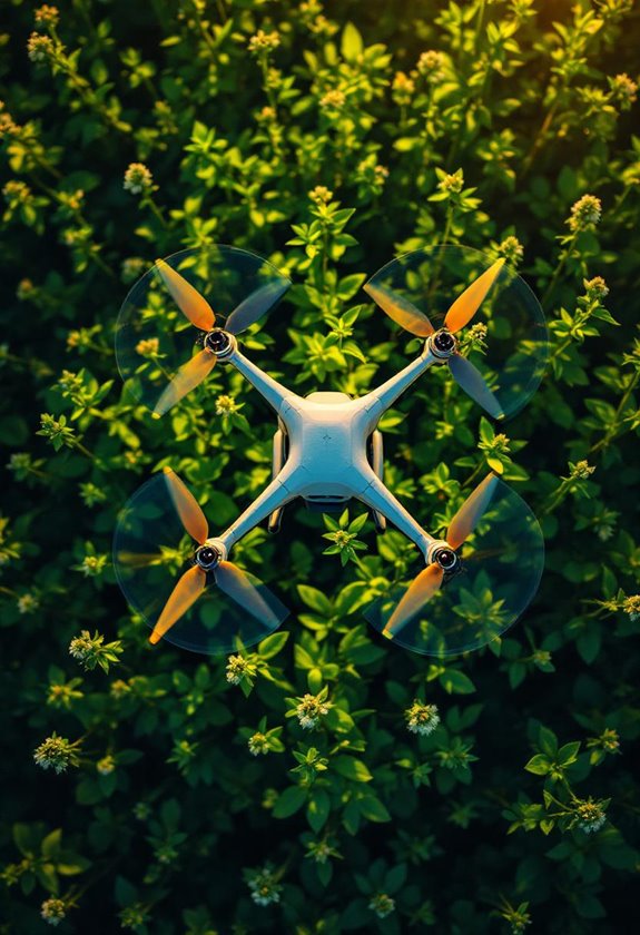
You know, drones have really changed the game when it comes to photogrammetry, which is just a fancy word for capturing and analyzing spatial data. Nowadays, these flying gadgets come equipped with high-resolution cameras that take overlapping pictures from the sky, and let me tell you, they make creating accurate 3D models and maps a breeze! For instance, if you wanted to map out a rugged mountain area or an old building, drones can do that way more easily than a crew of surveyors with traditional equipment.
What’s cool is that drones use GPS technology to pinpoint where each photo is taken. This means we can precisely triangulate the images to generate something called a dense point cloud, which essentially helps us create 3D representations of landscapes. Imagine needing to survey a steep and remote hiking trail: the drone swoops in, takes its photos, and just like that, you’ve got a detailed map without the risk of sending an entire team into a tricky area.
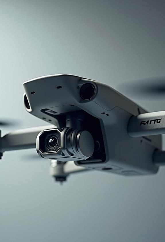
Plus, these drones can cover large areas in a fraction of the time it would take otherwise, which really speeds up project timelines. Thanks to some clever software, all those aerial images turn into georeferenced models that provide realistic maps of the terrain. This makes photogrammetry not just accessible but also super efficient for all sorts of projects. It’s fascinating how technology is reshaping our approach to surveying and mapping! Additionally, many drones incorporate 3-axis brushless gimbals that enhance image stability, ensuring clearer and more accurate data capture during flight.
Recommended Products


24”x24” AERIAL TARGETS - Designed for low to medium altitude drone mapping and scanning, these drone GCPs were made for drone mapping up to 400 feet. The standard 24”x24” size is useful when scaling and verifying the map, providing a standard reference distance during post-processing.

How Data Is Collected in Drone Mapping?

Hey there! If you’re curious about how we gather data for drone mapping, it’s quite an interesting process. We start by using drones fitted with high-resolution cameras to take overlapping photos of the area we want to map. Think of it like piecing together a big puzzle—aiming for about 60-70% overlap between images helps us ensure we cover every inch of the target area.
Now, here’s where it gets smart: each photo gets geotagged with GPS data, letting us know the precise location of every image. This detail is crucial because it significantly boosts the accuracy of the mapping results. For instance, when we map a piece of land for construction, this precise information helps us build a reliable plan.
After that, we lean on some neat photogrammetry software. This program takes all those images and finds common points between them. It’s like connecting the dots—by calculating three-dimensional coordinates, we can create amazing detailed point clouds. To make things even more accurate, we place ground control points (GCPs) at known locations across the area. These serve as reference points, helping us calibrate everything perfectly.
Using right-angle cables in the hardware setup can improve data transfer efficiency and reduce strain on connections during field operations.
Recommended Products

【BLACK WHITE】Our GCPs are in black and white with strong color contrast to provide optimal visibility in bright conditions. Using our GCPs allows you to capture accurate data more accurately.

Enhanced Field Coordination: These UAV aerial drone center eyelets numbered survey markers enable effortless identification and precise coordinate tracking, streamlining your operations in the field. Easily locate and reference specific points during mapping missions.

Set Includes: this set includes 10 ground control points labeled 0–9 for quick coordinate matching, a storage bag for easy portability and organization, and 50 metal stakes for secure placement; The pre-punched holes at each corner allow the markers to be firmly anchored, reducing movement in windy conditions and helping to maintain accuracy during aerial mapping
Diverse Applications of Drone Photogrammetry in Various Industries
You know, drone photogrammetry is fascinating and has so many practical uses across different industries. For instance, in construction, using drones really helps us keep track of how a project is progressing. We can get super accurate measurements of distances and volumes from the air, which is essential for making sure everything is on track.
In the energy sector, these drones come in handy for pre-drilling surveys. They help us spot potential hazards and assess land for renewable energy projects, like solar or wind farms. Imagine being able to fly a drone over a site and gather all that information quickly!
When it comes to environmental monitoring, high-resolution images taken by drones allow researchers to map habitats and assess land use effectively. And in mining, drone photogrammetry shines again by surveying large areas for volumetric analysis of stockpiles, which is crucial for inventory management.
Lastly, agriculture is seeing great benefits too. Farmers can analyze crop health and optimize resource management using drone data, leading to better yields. It’s impressive how this technology really fits into so many areas of life and work, making processes easier and more precise. What do you think will be next for drones in our everyday lives? To ensure the vast amounts of data collected are safely stored and organized, many professionals use memory card holders designed specifically for SD and microSD cards.
Recommended Products

[Capacity]: This memory card case can hold up to 8 Micro SD/Micro SDHC/Micro SDXC/TF Cards and 4 SD/SDHC/SDXC Cards neatly and tightly. (*Attention*: Please feel free to contact us if your receive the wrong item.)

Premium Material: The mini bead container is made of high-grade plastic material. Thick and sturdy, hard case, not afraid of falling, not easy to break. Tight seal, prevent leaking, portect your items. Stackable, saving space. Mini, lightweight, portable.

【STYLISH & THIN】CNC integrated molding, SmallRig Memory Card Case 2832B is an auxiliary product for photography enthusiasts.
Common Challenges in Aerial Photogrammetry and Their Solutions?
Aerial photogrammetry can be a fantastic tool for capturing detailed images from above, but some common challenges can crop up that make the process a bit tricky. For instance, have you ever thought about how weather can throw a wrench in drone operations? Rain and strong winds can really put a damper on plans. That’s why it’s smart to schedule flights during favorable weather conditions or even invest in weather-resistant drones to keep things running smoothly.
Battery life is another limitation we often face. If you’re out there flying your drone and it suddenly loses power, that’s not ideal! One way to tackle this is by using high-capacity batteries. Alternatively, you could deploy a fleet of drones so that while one is busy collecting data, others are ready to jump in as needed.
Regulatory issues can be a headache too, especially in urban areas where you need to be aware of local laws. Before heading out, it’s crucial to do your homework on permissions or permits required for aerial photography. Additionally, managing obstacles like trees and buildings can complicate your flight path. But if you plan your routes carefully, you can avoid many of these challenges.
Lastly, let’s talk about connectivity. Data transmission can sometimes be a struggle, especially in remote areas. You can make things easier by equipping your drones with solid communication systems or, if needed, setting up a plan to retrieve data after the flight. Each of these strategies can significantly enhance your aerial photogrammetry experience, making it as effective and enjoyable as possible. Next up, let’s explore some software tools that can help you make sense of all that collected data!
Also, choosing drones with intelligent flight modes can help automate complex maneuvers, reducing pilot workload during mapping missions.
Recommended Products

【Ultra-Long Control Range】With an astonishing control distance of 2,650 feet, it far surpasses other drones that only offer a control distance of 250 feet. This extended range enables your drone to soar freely and unrestrainedly in the sky.

Enhanced Protection: Our waterproof camera case provides superior protection for your valuable items. With precise outside dimensions of 13.6X11.4X6 inches and inside dimensions of 12 x 9 inches, it offers ample space to securely store and transport your camera, drone, or other delicate equipment.

Enhanced Protection: Our waterproof case provides superior protection for your valuable items. With precise outside dimensions of 16x 12.8x 6.8 inches and inside dimensions of 14.8 x 10.5 x 4.2 inches, it offers ample space to securely store and transport your camera, drone, or other delicate equipment.
The Future of Drone Technology in Photogrammetry and 3D Mapping
You know, when it comes to aerial photogrammetry and 3D mapping with drones, the future looks super promising! I mean, think about it: with the rise of AI-driven processing, we’ll be able to capture and analyze data much faster and more accurately than ever before. For instance, imagine using drones equipped with Real-Time Kinematic (RTK) systems to get pinpoint measurements in tricky terrains like forests or urban areas.
Plus, there’s a lot of buzz about extending drone battery life and making them more resilient to different weather conditions. This means that we could take on much bigger mapping jobs without worrying about equipment failure. On top of that, advanced software will help turn the images we capture into detailed 3D models automatically.
And don’t forget about the new regulations that are paving the way for Beyond Visual Line of Sight (BVLOS) operations. This opens up the potential for mapping large areas without being tethered to the drone’s immediate vicinity. It’s all very exciting and will likely change how different industries use mapping technology. Speaking of industries, let’s explore how these advancements might impact fields like construction and agriculture.
Many drones now feature GPS technology which ensures reliable navigation critical for precise mapping applications.
Recommended Products


【Wide Protocol Compatibility】 SMA26 Plus GNSS RTK capable of receiving and broadcasting signals compatible with CSS(Lora),Transparent, TT450S,Trimtalk, TRMMARK3, SOUTH, SATEL standard radio protocols. ensuring compatibility with a wide range of rover&base stations

WORKS WITH LEADING PHOTOGRAMMETRY SOFTWARE - Pix4D, DroneDeploy, Metashape, OpenDroneMap/WebODM, UAV4GEO Lightning, DJI Terra, Esri Drone2Map, Bentley ContextCapture, SimActive Correlator3D, 3Dsurvey, Propeller, Global Mapper Pro & RealityCapture
Frequently Asked Questions
What Is Photogrammetry With Drones?
When we talk about photogrammetry with drones, we’re exploring the synergy of drone technology and mapping accuracy. It’s all about real-time feedback, data analysis, and sophisticated software tools that optimize our image processing workflow in various project applications.
What Is Drone 3D Mapping?
Drone 3D mapping combines drone technology with aerial imaging for high mapping precision. We use it in various industry applications, optimizing workflow for data analysis, terrain modeling, and real estate surveys, enhancing our understanding of landscapes.
What Is Photogrammetry and How Does It Work?
Photogrammetry involves capturing aerial photography for precision measurement, using software applications for data processing and image stitching. It enhances surveying techniques, mapping accuracy, terrain analysis, and historical documentation, benefiting project management across various sectors.
How Does 3D Photogrammetry Work?
Imagine weaving a detailed tapestry; we capture overlapping aerial images that, through software tools, transform into stunning 3D data. This image processing enhances mapping accuracy, creating terrain models for diverse field applications and enthralling data visualization.