As an Amazon Associate, we earn from qualifying purchases. Some links on this site are affiliate links at no extra cost to you. Our recommendations are based on thorough research and editorial judgment.
Understanding GSD (Ground Sampling Distance) in Aerial Surveys
Understanding Ground Sample Distance (GSD) is vital for aerial surveys because it determines the detail in our images. A smaller GSD means more detail, which is essential for tasks like mining and construction. Factors affecting GSD include flight altitude, camera sensor size, and lens focal length. By optimizing these elements, we can achieve better accuracy and reliability in our data collection. As we explore further, we’ll uncover more about GSD’s impact on various applications and projects.
Key Takeaways
- GSD indicates the size of a pixel in an aerial image relative to the ground, affecting image detail and clarity.
- A lower GSD value results in sharper images, which are essential for precise tasks in industries like mining and construction.
- Factors influencing GSD include flight altitude, camera sensor size, lens focal length, and image resolution.
- Accurate GSD increases the reliability of data for tasks such as volumetric calculations in various applications.
- Regularly optimizing GSD through calculations ensures high-quality aerial survey outcomes and minimizes measurement discrepancies.
What Is Ground Sample Distance (GSD) and Why It Matters?
So, let’s chat about Ground Sample Distance, or GSD for short. Essentially, GSD refers to how big each pixel is in an aerial image compared to the actual ground it represents. If you have a smaller GSD number, like 1 cm per pixel, you get sharper and more detailed images, which is crucial in certain fields. For example, in mining or construction, being precise down to the centimeter can make all the difference in project outcomes.
Now, a few factors can influence GSD, mainly the altitude of your flight and the specifications of the camera you’re using. If you fly higher, the GSD increases, which means the images are less detailed. Planning is key here; knowing your ideal GSD helps in charting the best flight paths and settings to gather accurate data. When you aim for a lower GSD, you can capture smaller features effectively, setting yourself up for success in your projects.
Understanding GSD is essential, but there’s also a lot more to consider when planning your aerial surveys, like the equipment you’ll use and the specific goals of your project. Let’s explore those as we go along! Additionally, incorporating drones equipped with high-resolution cameras can greatly improve the quality and usefulness of your aerial data.
Key Factors Affecting GSD in Aerial Imagery

Hey there! Let’s chat about Ground Sample Distance (GSD)—a key player in aerial imagery. Simply put, GSD is all about how much ground area each pixel of your image represents. So, if you’re flying high up in the sky, you’ll notice that the pixel sizes get larger, which increases GSD and makes the details blurrier. Think of it like zooming out on a map; you lose those finer details.
Now, other factors also come into play. For example, the size of your camera sensor matters. If you have a bigger sensor, it can produce sharper images with a lower GSD. This means you can capture more detail, like the texture of leaves or the lay of the land. Similarly, the focal length of the lens can help minimize GSD. A longer focal length can zoom in on smaller features, making things clearer.
And let’s not forget about image dimensions! Higher resolution images, packed with more pixels, will give you a lower GSD, which translates to greater accuracy. You know those times when you’re trying to read a street sign from a distance? It’s similar—more pixels mean you can discern finer details. Lastly, varying terrain can also throw a wrench into the consistency of your imagery. If the landscape has hills and valleys, those changes can affect how well your imagery holds up across different areas.
Using drones equipped with 4K Ultra HD cameras can significantly improve image resolution and reduce GSD for more precise aerial surveys.
Understanding GSD’s Role in Survey Precision
Hey there! So, have you ever wondered how GSD, or Ground Sample Distance, plays a crucial role in making aerial surveys precise? Essentially, it tells us how much ground a single pixel in our images represents. When GSD is lower, like at 1 cm per pixel, we can capture way more detail, which helps us spot smaller features and accurately identify ground control points in our surveys.
Let’s talk about a couple of key factors. First, the altitude at which we fly the drone is vital. If we fly higher, the GSD increases, meaning each pixel covers more ground and we lose some detail. It’s like trying to read a book from across the room versus sitting right up close. For instance, if you’re mapping a construction site, being able to identify tiny markers or changes can really make a difference in planning.
Another thing to remember is that consistent GSD values keep our data quality high. This means we’re less likely to run into discrepancies that could throw off both our evaluations and the budgeting for projects. By focusing on maintaining an optimal GSD, we ensure our aerial surveys turn out not just good, but reliable and useful for whatever we need them for. Using drones with advanced 4K camera capabilities can significantly enhance the clarity and accuracy of the images captured during the survey.
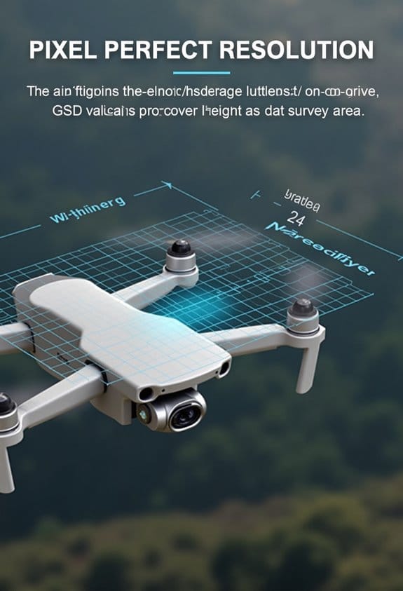
How to Calculate GSD?
Hey there! Let’s talk about how to calculate GSD, or Ground Sample Distance, because it’s super important for making sure our aerial surveys are spot-on and give us the best quality data. GSD helps us understand how much ground area each pixel in our images covers, which is crucial for making informed decisions.
To calculate GSD, you can follow this formula:
GSD = (sensor width (mm) × flight altitude (m)) / (focal length (mm) × image width (pixels)).
Let’s break it down with a practical example. Imagine you’re flying at 120 meters high, using a camera with a 36 mm sensor and a 24 mm focal length, and you have an image that’s 6000 pixels wide. When you plug those numbers into the formula, you’ll find that your GSD comes out to about 2.4 cm. That means each pixel represents a chunk of ground measuring roughly 2.4 cm on each side!
If doing the math seems a bit overwhelming, no worries! Tools like the Propeller GSD Calculator can help out by letting you just input things like your drone model and how high you’re flying. Just remember to keep an eye on your camera specifications and any environmental factors, since those can really affect your GSD. To protect your drone and its equipment during these surveys, using a custom foam interior in your carrying case can greatly reduce the risk of damage while transporting your gear.
Next, let’s look at how to ensure our images are as clear and useful as possible during these surveys.
Best Practices for Optimizing GSD in Your Projects
When we think about optimizing our aerial survey projects, one of the most important things to focus on is capturing the best possible images while keeping things efficient. A key way to enhance Ground Sample Distance (GSD) is by flying at lower altitudes. This approach gives us higher image resolution and more detail, though we do need to keep an eye on how this might increase our data volume and flight time. For instance, if we’re surveying a small area, flying lower can really pay off in image quality.
Another tip is to use high-resolution sensors, which are crucial for improving GSD even if you’re flying a bit higher. Think of it this way: a good camera can make a big difference. So, if you have the right sensor width and lenses, you can capture excellent details without needing to fly as low, saving some time and energy.
You also want to keep varied terrain in mind. When a survey area has hills or valleys, adjusting your flight paths can help maintain consistent GSD across different elevations. It’s like playing a game of chess; you need to think a few steps ahead to get the best results. Lastly, make it a habit to regularly review your flight parameters to meet your project specifications. If you need sub-centimeter accuracy, you’ll want to ensure you’re maximizing the effectiveness of your aerial surveys. Using drones with advanced 1-inch CMOS sensors can significantly enhance image quality and contribute to more precise GSD optimization.
How GSD Works in Real Projects
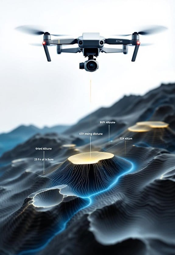
Hey there! Have you ever thought about how Ground Sample Distance (GSD) really plays a role in aerial surveys? It’s fascinating because it directly affects how accurate and useful the data we collect turns out to be. For example, let’s say you’re working on a mining project—it might need a GSD as tight as 1 cm/px to get the precision needed for important tasks.
Now, if you’re using a drone like the WingtraOne, you can fly at 120 meters and achieve a GSD of about 0.75 in/px. This makes a huge difference in the time it takes to complete surveys while also making the earthwork measurements spot-on. But here’s the thing: if you’re dealing with a larger survey and your GSD is around 5 cm, you might end up with some significant errors in volumetric calculations, which can mess with material estimates.
Additionally, drones equipped with GPS Functionality greatly enhance flight stability and data accuracy during aerial imaging missions.
Frequently Asked Questions
How Does GSD Affect the Cost of Aerial Surveys?
GSD calculations directly influence our project planning and budget estimation. Higher resolution requirements increase equipment selection costs and affect flight altitude choices, impacting survey precision and ultimately data quality. We need to balance these cost implications carefully.
Can GSD Be Adjusted After Image Capture?
We can’t directly adjust GSD after image capture, but utilizing GSD adjustment techniques in post-capture processing can optimize flight parameters. Understanding sensor resolution impacts helps clarify misconceptions and improves effective data interpretation through software tools comparison.
What Are Common Misconceptions About GSD?
Many people believe GSD accuracy only hinges on the definition and calculation. However, misconceptions arise around GSD significance and applications in mapping. Various factors, GSD standards, and examples influence results more than they realize.
How Does Terrain Influence GSD in Surveys?
Terrain types, elevation impacts, and surface roughness greatly affect GSD in surveys. Dense vegetation and varying flight speeds or sensor altitudes can alter data accuracy, influenced by weather conditions and imaging technology based on our survey objectives.
What Software Can Help Analyze GSD in Projects?
For analyzing GSD in projects, we recommend aerial imaging software, photogrammetry platforms, and GIS integration tools. They enhance measurement accuracy and data processing, while analytical measurement programs and terrain modeling software guarantee precise survey planning.