As an Amazon Associate, we earn from qualifying purchases. Some links on this site are affiliate links at no extra cost to you. Our recommendations are based on thorough research and editorial judgment.
Understanding Scale and Perspective in Aerial Images
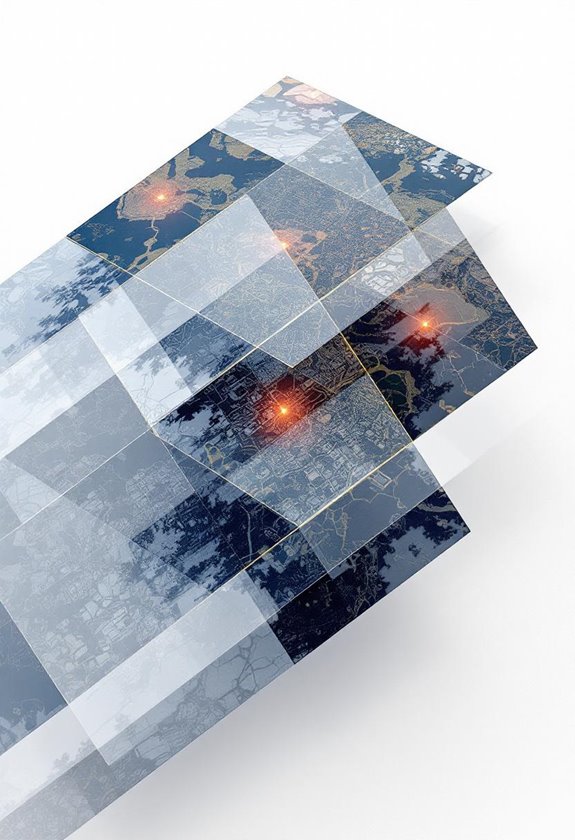
Understanding scale and perspective in aerial imagery is essential for accurate analysis. Scale determines how much detail we see; large-scale images reveal fine features like buildings, while small-scale images show broader areas without much detail. Perspective plays a role, as vertical photos reduce distortion and enhance mapping accuracy, while oblique photos offer a three-dimensional view but complicate feature identification. By grasping these concepts, we can make informed decisions in urban and environmental planning. Let’s explore further!
Key Takeaways
- Scale in aerial imagery impacts detail visibility; large-scale images offer fine details while small-scale images cover wider areas with less specificity.
- Perspective distortion in aerial photography can misrepresent sizes, with vertical photos minimizing distortion for accurate mapping and analysis.
- High-resolution images (1-5 cm per pixel) enhance detail recognition, benefiting urban planning and environmental assessments.
- Using multiple perspectives, like low and high oblique views, can provide a more comprehensive understanding of landscapes.
- Choose appropriate imagery types based on data needs, considering potential analysis challenges and leveraging specialized software for better accuracy.
The Importance of Scale in Aerial Imagery
When we chat about aerial imagery, one of the biggest things to get your head around is scale. It’s super important because it affects how much detail we can see and how big an area we can cover in a single shot. Think of large-scale imagery as your close-up view of the world—it’s great for capturing all the tiny details, which is really handy when mapping out landscapes or managing infrastructure. On the flip side, small-scale imagery gives you a wide view of larger areas but sacrifices some details.
You’ll come across different types of aerial imagery, like vertical and oblique photos, and each can have its own scale depending on what you need. For instance, if you’re monitoring a small construction site, large-scale images will help you pinpoint exact features, while if you’re assessing flood zones, a small-scale image that captures the broader region is more useful. Understanding the scale not only helps us see the relationships between things but is also crucial for making informed decisions in fields like urban planning or environmental protection. It’s fascinating how just a quick casual glance at a photo can lead to such impactful choices!
Similar to how precision and maintaining consistent impedance are critical for reliable RP-SMA connector performance, accurate scale interpretation ensures the integrity and usefulness of aerial imagery.
How Perspective Affects Aerial Image Interpretation
Hey there! Let’s chat about how perspective affects aerial image interpretation. You know how different angles can change what we see? That’s super important in aerial photography because perspective distortion can trick us into thinking objects are bigger or closer than they really are—especially in those oblique photos taken from a tilted angle.
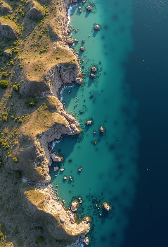
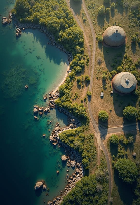
When you’re looking at these aerial images, it’s good to keep a couple of things in mind. For instance, vertical aerial photographs help a lot because they reduce that confusing perspective distortion. Think of them like maps that give you a true sense of distances and sizes, which is really helpful for tasks like city planning or conservation work. In contrast, oblique images might show you a beautiful landscape with context, but they can make it tough to identify small features like pathways or property lines.
Getting a handle on perspective makes us better interpreters of aerial data. This skill is particularly useful in areas like disaster management, where understanding the true scale of a situation can make a big difference in how we respond. It’s all about seeing the bigger picture and recognizing what those images are truly telling us! Now, let’s explore how scale plays a role in our understanding of these images. Using drones equipped with advanced GPS navigation can further enhance the accuracy and reliability of aerial photography interpretation.
Types of Aerial Images by Scale: Large, Medium, and Small
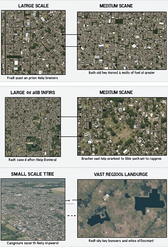
Hey there! So, when it comes to aerial images, there are three main types based on scale: large, medium, and small. If you’re looking for detailed views of specific areas—like a neighborhood or a construction site—large scale images, which are 1:15,000 or larger, are your best bet. They can give you a clear picture for precise mapping projects, kind of like zooming in on a map on your phone.
On the other hand, medium scale images, which range from 1:15,000 to 1:30,000, offer a nice balance. They’re great for regional planning or analyses, like when city planners need a good overview of a town’s layout but still want some detail.
Then you have small scale imagery, which is anything smaller than 1:30,000. While these cover larger areas and are useful for things like environmental surveys or assessing vast landscapes, they do sacrifice some detail. Imagine using a wide-angle lens—it’s great for getting the whole picture, but you won’t see the fine details.
Using drones equipped with 4K Ultra HD cameras can greatly enhance the quality and usefulness of these aerial images across all scales.
Common Challenges When Analyzing Aerial Images by Scale and Perspective
You know, analyzing aerial images can really open up a new world of insights, but it definitely comes with its own set of challenges, especially when you think about scale and perspective. For example, if you’re working with large-scale images, you might get incredible detail, but you could lose out on the bigger picture of the area you’re studying. On the flip side, medium-scale images can blur those tiny details, which can make it tricky to ensure accuracy in what we’re examining.
Small-scale imagery is a whole other ball game since it covers large areas, but the lower resolution can make it tough to effectively assess things like land use patterns. Picture trying to spot a small park in a massive aerial photo—it’s much more difficult than if you were looking at a zoomed-in view. And let’s not forget about perspective distortion that often shows up in oblique photographs. High pitch angles can hide important features, making it even more complicated to piece together what’s really going on down below.
Lastly, we always need to keep an eye on consistency in image quality. If you’re comparing different sources, variations in resolution can really throw off your analysis. Paying attention to these details is crucial for accurate conclusions. So, as you can see, while aerial imagery is powerful, it requires a thoughtful approach to overcome these challenges. Let’s now look at some techniques to improve our analysis of these images. Using advanced tools like drones equipped with 4/3 CMOS sensors can help capture higher-quality aerial images that reduce some of these common issues.
Best Practices for Overcoming Aerial Image Analysis Challenges
Tackling challenges in aerial image analysis might feel a bit daunting at times, but there are some solid strategies we can use to get better results. First off, understanding the scale of the imagery is super important. If you’re working with images that are 1:15,000 scale or larger, you’ll find you can pick up a lot more detail, which really helps in your analysis.
When it comes to choosing the right type of aerial imagery, think about what you need it for. For instance, vertical photographs are your go-to for mapping purposes, while oblique images are fantastic for assessing terrain and landscapes. It’s all about using the right tool for the job!
Don’t forget about pulling in multiple data sources. This can really enhance the accuracy of your analysis. Using specialized software for photogrammetry and GIS can help streamline this process. For example, if you’re trying to map a large area, combining satellite imagery with aerial shots can give you a more comprehensive view.
Lastly, keep an eye on environmental conditions. The weather and the time of day when the images are taken can greatly affect quality. If you’re dealing with tough visibility or dense vegetation, considering options like infrared or thermal imagery can provide clearer insights and help you see what you might normally miss.
For aerial surveys conducted with drones, selecting intelligent flight batteries that optimize flight time and performance is crucial to capturing high-quality images without interruptions.
Using Scale and Perspective in Aerial Imagery for Real-World Mapping Applications
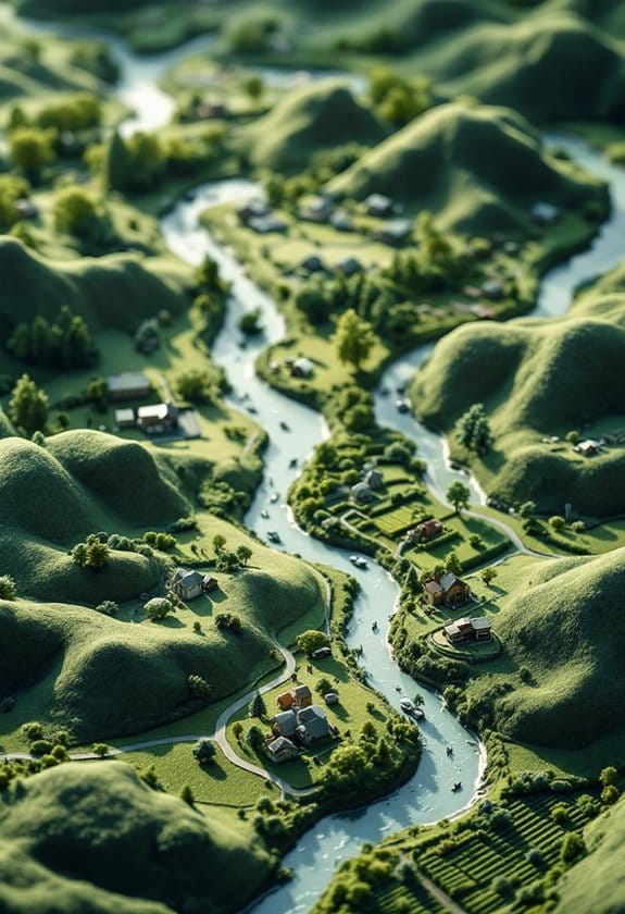
Hey there! Let’s chat about how we use aerial imagery for real-world mapping. Understanding scale and perspective is super important to get the most out of those images. Think of scale as how zoomed in or out you are—larger scales let you see more detail, but you cover less ground. For instance, if you’re looking at a city block, a large scale image will show you the layout of individual buildings, whereas a smaller scale might just give you an overview of the whole neighborhood.
When we talk about perspective, vertical aerial photographs tend to give us a really accurate view with minimal distortion. These are great for things like creating city maps. On the other hand, oblique images can be really helpful because they show depth and give a three-dimensional feel, which is handy when you’re trying to visualize a new building’s impact in a crowded area.
For different mapping projects, we can adjust the scale to fit our needs. High-resolution images, usually around 1 to 5 centimeters per pixel, allow us to spot subtle features—like a new park or a recently constructed road—much more easily. This combination of scale and perspective not only aids urban planning but also helps in areas like environmental monitoring where every detail counts. So, next time you see an aerial image, think about the scale and perspective—it’s all about how we interpret and use that information for real-world applications. Modern drones, like those with 8K video recording capabilities, provide the high-quality imagery that enhances accurate scaling and perspective.
Tips for Accurately Interpreting Aerial Images in Your Projects
Now that we’ve talked about the importance of scale and perspective in aerial imagery, let’s chat about how to interpret these images accurately for our projects. Understanding how scale works is crucial; for instance, large scale images can give you incredible detail, like showing individual trees, while small scale images provide a wider context, helping you spot trends or patterns over larger areas.
When you’re working with aerial photos, vertical shots are your best friends for accurate mapping since they keep things straight and reduce distortion. If you want to uncover hidden features or really get a good look at the landscape’s ups and downs, try experimenting with low and high oblique angles. For example, a low oblique shot can reveal the outlines of roads or buildings that might get missed in a standard vertical photo.
Don’t forget about the tools available to you! Depending on your project, you might choose natural color photography for lush vegetation analysis, or infrared for taking a closer look at areas at night. And speaking of tools, imagery analysis software is a great way to boost your interpretations. Just think about using high spatial resolution to bring out details that matter, which can ultimately improve your GIS accuracy.
Using drones equipped with 6K cameras can significantly enhance the quality of your aerial imagery by providing more detailed and vivid images.
With these insights in your toolkit, you’re well on your way to making sense of aerial images. Next, we’ll explore how to bring your findings into play for practical applications in your work.
Frequently Asked Questions
What Tools Can I Use to Measure Scale in Aerial Images?
We can use scale calibration methods, aerial measurement apps, and image analysis software to accurately measure scale in aerial images. These tools help us guarantee our measurements are reliable and precise for various applications.
How Do I Determine the Perspective of an Aerial Image?
Determining aerial image perspective isn’t rocket science! We must consider the aerial image orientation, perspective distortion factors, and human perception effects. Analyzing these elements helps us appreciate the true dimensions and depth of what we see.
What Is the Difference Between Vertical and Oblique Aerial Images?
Vertical aerial images capture subjects with vertical alignment from directly above, ensuring image accuracy. In contrast, oblique images use angled perspectives, providing depth and context, but may sacrifice some accuracy in scale and detail.
Can I Combine Images of Different Scales for Analysis?
We can combine images of different scales, but it’s tricky. With image registration techniques and scale adjustment methods, we tackle comparative analysis challenges, ensuring accuracy. Let’s immerse ourselves in the complexities together!
How Does Weather Affect the Quality of Aerial Images?
Weather can greatly affect aerial image quality. Poor light conditions and atmospheric interference reduce image clarity, while clear skies enhance it. We should always consider these factors when planning aerial photography sessions for ideal results.